No Widget Added
Please add some widget in Offcanvs Sidebar

Arc GIS
Course Overview
About The Course
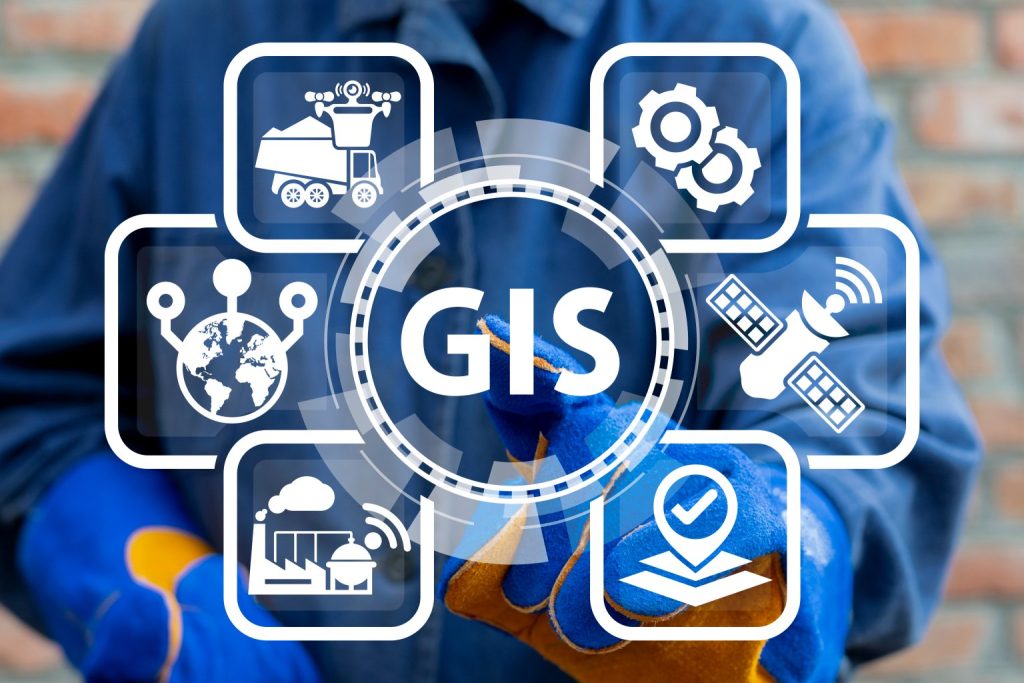
The “Arc GIS” course at Sonek Data School provides comprehensive training in Geographic Information Systems (GIS). Through interactive lessons and practical exercises, students will master the use of Arc GIS software for spatial data analysis, mapping, and visualization. The course covers essential GIS concepts and techniques, enabling students to handle complex spatial datasets, create detailed maps, and apply GIS solutions to real-world problems. This course equips participants with the skills needed to excel in various professional fields that utilize GIS technology.
What Will You Learn?
In the "Arc GIS" course, students will learn to leverage Geographic Information System (GIS) technology for spatial data analysis, mapping, and visualization. They will gain hands-on experience in creating, managing, and analyzing spatial data, using tools to visualize geographic information, and applying GIS techniques in real-world scenarios. By the end of the course, students will be proficient in using Arc GIS software to solve complex spatial problems, produce high-quality maps, and make data-driven decisions.

Requirements
> Computer
Audience
This course is designed for professionals and students in fields such as urban planning, environmental science, geography, and any discipline that benefits from spatial data analysis. It is also suitable for GIS enthusiasts and anyone looking to enhance their data analysis skills with GIS technology.


